Krosno Odrzańskie
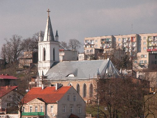
Krosno Odrzańskie (Photo: Anneberg Transport by Kristian Høgh)
Distance
Population
13.300 (2003)
Location and history
Krosno Odrzańskie is located (as the name indicates) on the river Odra (and the river Bóbr’s outlet in this) in the southern part of the ówagów lake landscape – 35 km northwest of the regional capital Zielona Góra.
Already in the 8th year. there was a slavish, fortified settlement at this place. Krosno is mentioned for the first time in the written sources in 1005. The city gained market town rights in 1232. In the Middle Ages, the fortified castle in Krosno played a key role in defending the Polish west border against the Germans.
The fate of the city has been extremely tough over time. Severe floods in the Middle Ages (1306, 1311 and 1317) and large fires (1481, 1631 and 1641) destroyed large parts of the city's buildings. During the last world war, the old town was almost completely destroyed. For financial reasons, it has only been possible to rebuild some of the historic building monuments after the war.
First
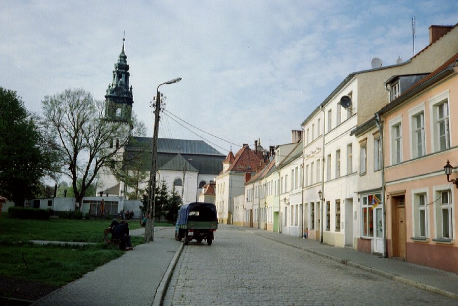
Maria Church
2nd
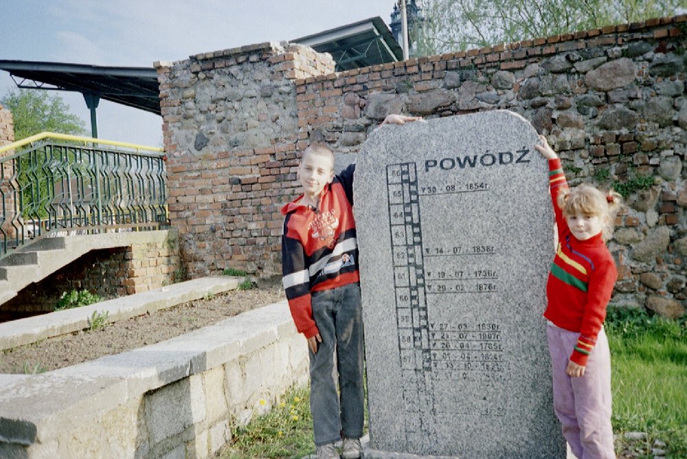
The above picture # 2 shows a stone (near the old city wall) with the inscription “Flood” and indications of the water level during the many flood disasters that have hit the city in recent times.
Third
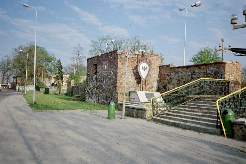
Remains of the city wall
4th
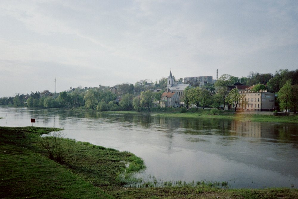
River Odra
Tourist attractions
The castle of the Piast family. The history of the castle can be traced back to the 12th and 13th centuries. After a fire that took place during a Swedish attack, the castle was rebuilt in Baroque style, while certain elements of Gothic and Renaissance style have been preserved. After the devastation of the last war, a smaller part has been rebuilt, the rest of the castle remains as ruin.
The city wall. Remains of the defensive wall from the 13th and 14th centuries. can be seen near the castle.
Maria Church in the city center dates from the 14th century. and was originally a late Gothic brick building that in the 18th century. was rebuilt in Baroque style.
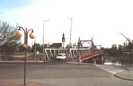
The bridge over Odra
Surrounding Area
The area is rich in forests and lakes, as are the great rivers: Odra and Bóbr make their mark on the landscape. 46% of the municipality is covered by forest. The municipality has 12 lakes and as many as 73 fish ponds. The largest lakes are located in the landscape park Gryżyński Park Krajobrazowy , approx. 12 km east of the city; The park also houses the villages of Gryżyna and Grabin. Another landscape park is Krzesiński Park Krajobrazowy – to the west, up to the German border.
The village Gryżyna (21 km north of Krosno) is an entertainment and holiday center. can spend the night in bungalows and in a tent. A farm in the wooded forest offers farm holidays; 8-day and weekend riding courses are also offered for groups.
The village Grabin (16 km north of Krosno) dates from the 13th century. and is beautifully situated in the hilly terrain. In the village there is a wooden church from 1776 and a Baroque-style manor house, situated on a high bank, from which there is a beautiful view of the Gryżynka Valley and the Gryżyna Landscape Park. The manor house now houses a guest house.
Accommodation
Booking.com
Krosno Odrzańskie (Official site) – here also practical information for tourists
Eating Out:
Krosno Odrzańskie (Official site) – here also practical information for tourists
links
Krosno Odrzańskie (Official Site)
Translated into English by Google Translate. Spangshus.dk accept no liability for any errors or omissions in translation.
Map

Rating
Search
Most used tags
churches (205) Castles (86) Monasteries (79) Town walls (74) Lakes (71) Town halls (67) Rivers (65) Castles1 (62) Mansions (55) Museums (51) Regional museums (38) Town gates (36) Abbey churches (35) Castle ruins (30) Cathedrals (26) Forests (25) Health resorts (24) Water sports (23) Mounds (23) National parks (22)Click for all tags
Denne side er også tilgængelig på dansk. This page and contents is (c) Copyright 2018- www.spangshus.dk. Based on Inviator software by ISCA Software